
Interactive Maps of French Immersion in Canada: What to Use in 2026
An interactive map of French immersion in Canada exists at three levels: national school finders run by parent and professional associations, board-level program maps, and official statistical maps. This page lists the useful ones, explains what each shows, and adds the enrolment numbers behind the dots.
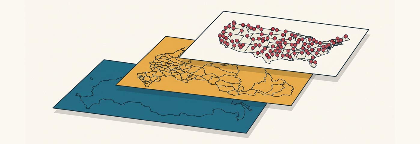
The national layer: association school finders
The Canadian Association of Immersion Professionals maintained an interactive map of immersion schools that got a full makeover in the early 2020s, tied to its job portal jobimmersion.ca, and Canadian Parents for French chapters keep program directories by province. These national tools answer the first question a family or a job-seeking teacher asks: which communities actually offer immersion? The answer is broader than most people expect. Immersion programs run in 12 of Canada’s 13 provinces and territories, in roughly 2,106 schools.
The local layer: school board maps
For an address-level answer, board maps beat national ones. The Waterloo Region District School Board in Ontario, for example, publishes an interactive map of its immersion schools for the 2025-26 year, flagged with enrolment limits; Burnaby’s district in B.C. maps early and late immersion catchments separately. If you are choosing a house or a first teaching post, search the board’s name plus “French immersion map”: nearly every large board now has one, because demand management forced the issue.
How to actually use them, in three steps
- Start with a national school finder to shortlist communities that offer immersion at all, filtering by grade level where the tool allows it.
- Switch to the school board’s own map for street-level truth: catchment boundaries, early versus late immersion entry points, and enrolment caps.
- Confirm on the board’s registration page before deciding anything. Caps, lotteries and bus eligibility change yearly, and maps are usually updated after the rules, not before.
Looking for a map of Canada in French instead?
A share of readers land here wanting something different: a French map of Canada, meaning a map labelled in French. The authoritative free source is the Atlas of Canada (l’Atlas du Canada) from Natural Resources Canada, which publishes reference maps of the country in both official languages, downloadable and printable. Statistics Canada’s census-language maps complement it if you want to see where French is actually spoken, community by community.
The numbers behind the map
Indicator | Figure |
|---|---|
Students in French immersion outside Quebec (2021) | 483,000 |
Share of students outside Quebec in immersion (2020) | 12% |
Schools offering immersion (2023 estimate) | about 2,106 |
Immersion teachers nationally (2023 estimate) | about 18,936 |
Provinces and territories with programs | 12 of 13 |
Enrolment climbed about 20% between 2011-12 and 2015-16 while the overall student body stayed flat, and Alberta and B.C. logged fifteen consecutive years of immersion growth. Former commissioner of official languages Graham Fraser explained the pull plainly:
“Learning a second language is good for the brain”
Graham Fraser, former Commissioner of Official Languages, to Global News
Province by province, at a glance
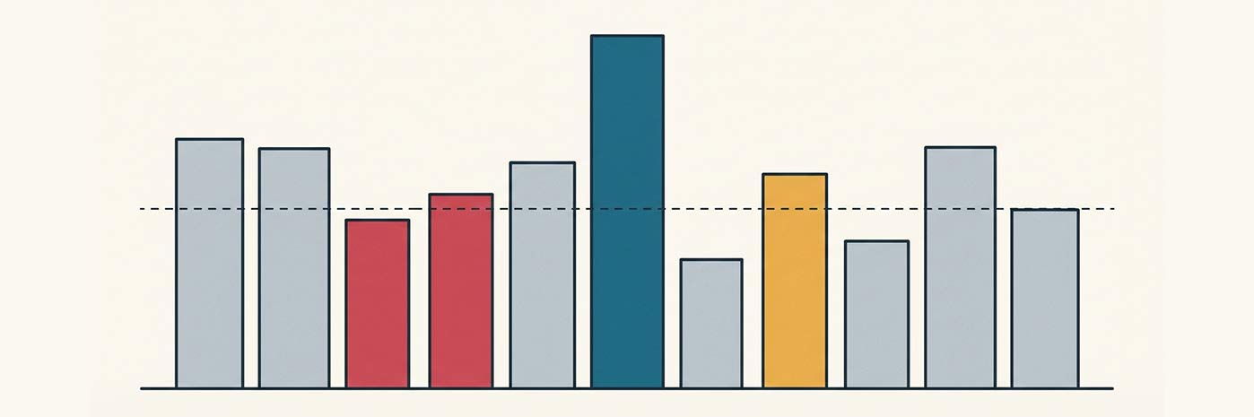
- Ontario carries the largest immersion enrolment in the country in absolute numbers, concentrated in and around its big urban boards.
- Prince Edward Island enrols the highest share of its students in immersion of any province, a legacy of decades of early-entry programs.
- New Brunswick, the only officially bilingual province, treats immersion as a mainstream track of its anglophone school system rather than a niche.
- Quebec reports separately: national immersion counts usually exclude it, but its English school boards run French immersion of their own.
- Nunavut is the one jurisdiction without a program, which is why every national figure says 12 of 13.
How teachers read these maps differently
Parents use immersion maps to find a spot; teachers should read them as a hiring forecast. Clusters of dual-track schools around fast-growing suburbs signal boards that will be short-staffed within two years. Rural dots matter even more: 51% of rural schools with immersion reported teacher shortages, against 40% in cities. A map that shows a lone immersion school in a small Saskatchewan or New Brunswick town is, in practice, showing you a standing job offer.
For what those jobs pay and how to qualify, see the career overview on our home page (/) and, if you are still deciding, the ten reasons at /en/top-10-reasons-to-teach-in-immersion/. Exchange placements that let you sample a region first are compared at /en/exchange-program/.
Contact: [email protected]
Disclaimer: This website is an independent informational resource about French second-language teaching and French immersion in Canada. It is not affiliated with the “Teacher 5 étoiles” campaign or the Canadian Association of Immersion Professionals (ACPI).